The River Does Not Always Follow the Line on the Map
Learn how to read a river course on a map, compare it with the landscape and spot where a channel may have shifted since the map was made.
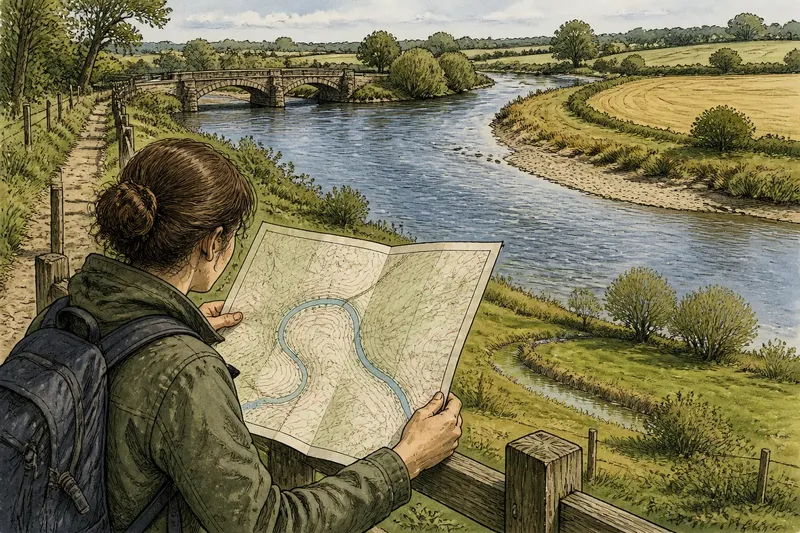
You unfold a map beside a riverside footpath and see the blue line bend around a field. At the water’s edge, the current runs close to the opposite bank. A river course on a map is a record of where the channel was represented at a particular time, not a promise that water will keep to that trace.
To read the difference, start with the map’s date and purpose, then compare its line with the river’s present shape and the land around it. This is useful for understanding a landscape, planning a walk or checking an old boundary. It is not a substitute for current local information where access, property or safety depends on the river’s position.
Begin with the map’s date and purpose
Before following a blue line, check the map margin, title or catalogue entry for its edition, survey date and scale. A date printed on a map may refer to publication rather than the field survey, so treat it as a clue, not necessarily the exact moment its river detail was recorded.
Then ask what the map was made to show. A small-scale road map may simplify bends to keep the image readable. A detailed topographic map can show more of the channel’s shape, but it still represents conditions recorded during its survey. An online map may draw on several sources, and its river line may not share the date of its surrounding roads or labels.
Look at the legend as well. It may distinguish a river from a drainage ditch, canal or intermittent stream, or show a broad water surface rather than a narrow channel. If you are comparing maps, use the same general scale and check whether each one portrays the river in the same way.
Read the mapped line as a simplified record
A river is not simply a line laid over the land. It is a channel with banks, bends, shoals and changing water levels. On a printed map, those details must be reduced to a symbol. A thin blue stroke cannot show every small channel, temporary pool or difference between the visible water and the channel beneath it.
Even a carefully drawn line has limits. At a tight bend, the mapped course may be slightly displaced so it does not collide with a road, label or other feature. At a broad floodplain, the map may represent a main channel while leaving smaller side channels out. Those choices make the map legible; they do not necessarily signal a change in the river itself.
Consider what the line can support. It can help you identify a river and understand its broad route. On its own, it cannot tell you exactly where the bank lies today, how deep the water is, or whether a particular crossing is usable. Keep those questions separate from the map’s more general account of place.
Compare the river with clues on the ground
When you are at a safe, public viewpoint, compare the broad alignment of the river with the mapped bends, bridges and nearby paths. A bridge is often a more useful reference than an isolated bend because it is a distinct feature that is easier to locate in both places. Do not approach an unstable bank or enter water to settle a map discrepancy.
Look beyond the visible water for signs of the channel’s wider course. A low, curved strip of wetter ground, a line of willows or a shallow hollow may mark an old bend or former channel. These clues can be subtle and may have other explanations, so treat them as indications to compare with maps and terrain rather than proof by themselves.
Imagine you are comparing a printed map with a public path beside a river. The map shows a broad bend below a bridge, while the visible channel seems straighter and closer to the far bank. You note the bridge as a fixed reference, then check the bend against a newer map and the shape of the low ground. The useful result is not a claim that the river has moved by a particular amount; it is a clearer distinction between the mapped course, the present visible channel and possible traces of an older one.
Why can a river channel move?
Can a river change course without a flood?
Yes. Flowing water can gradually wear away an outer bank and deposit sediment on an inner bend, shifting the channel over time. The visible changes may be uneven, and a map alone cannot show when they took place.
Can a flood leave the river in a different channel?
A flood can carry water across low ground, erode banks or open a route into a nearby channel. Whether the main course changes afterwards depends on the local landscape and flow, so a flood mark is not by itself evidence of a permanent new route.
Do people alter mapped river courses?
They can. Embankments, drainage works, channel straightening and flood-management structures may change how water is contained or directed. A map may show a later arrangement, but the date and detail of the source matter when comparing it with an older one.
Does an old-looking bend mean the river used to run there?
It may be a former channel, but damp ground, vegetation and shallow hollows can have several causes. Compare the clue with other maps and nearby features before drawing a conclusion, and leave uncertain traces described as possibilities.
Compare editions without mistaking drawing differences for movement
Place maps side by side and start with features that are less likely to have shifted: a substantial bridge, a road junction or a clearly marked building. Align those points before comparing the river. If the maps are digital, a transparent overlay can help, but a poor alignment or different scale can make a stable channel appear displaced.
Next, compare the same stretch rather than the entire river. Note whether a bend changes shape, whether an island or side channel appears, or whether the mapped river meets a bridge at a different point. Record what each map depicts and its date, keeping your observations separate from explanations about why the channel differs.
Look for corroboration in another edition or a current local mapping source. If several maps show a similar change, that supports a comparison of mapped representations, but it still does not establish the exact history or current bank position. Maps are evidence to read together, not a substitute for inspecting the relevant place or consulting authoritative local records.
What should you do if the river is a boundary?
A river shown between fields or administrative areas can look like a precise dividing line. In reality, the legal description may refer to a named channel, a bank, a surveyed feature or another definition. The map symbol alone does not settle which one applies, and the visible channel may not match the line used in a legal record.
If the question affects ownership, access or responsibility, check the relevant deeds, official records and local authority information. Ask a qualified solicitor or surveyor where a boundary has practical or legal consequences. For everyday orientation, describe the river as a landmark and avoid treating the blue stroke as a precise boundary without supporting records.
For a walk, use current access information and follow signs and local advice. Water levels, bank conditions and crossings can change independently of the mapped course. A map is valuable for understanding the route through a landscape, but it should not be used alone to judge whether a riverbank or crossing is safe.
Keep a clear record of what each map tells you
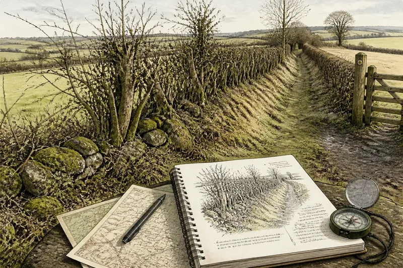
Write down the map source and date, the stretch you compared and the fixed features you used to align it. Then describe the visible difference plainly: for example, “the bend on the older map lies farther from the bridge than the channel shown on the newer map”. This keeps the observation useful without turning it into an unsupported account of how or when the river changed.
The search phrase river course on a map is a helpful starting point, but the map’s line makes most sense beside its date, scale and purpose. Read it as a snapshot, compare it with stable landmarks and treat traces of former channels as clues. That approach lets you see both what the map records and what the changing water may have left behind.